

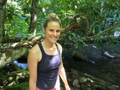
Carrie Jensen
The bear necessities of headwater stream research
While setting up the sensors for her research project, Carrie Jensen heard a rustle in the surrounding woods. Peeping from behind a tree, a bear appeared out of nowhere. To keep the bear away, Jensen tried making herself seem bigger so that she wouldn’t end up being the bear’s next meal.
The curious bear crept back into the woods, only to come back later to try to become Jensen’s furry research assistant.
When Jensen saw the bear appear right in front of her this time, she ran away in fright—leaving her research materials behind. She later returned to get her research materials with a friend—just in case the bear tried to join her research team again.
Also making a rustle is Jensen, a PhD candidate at Virginia Tech in the Geospatial and Environmental Analysis Program. Her research focuses on the project “Headwater Stream Length Dynamics in the Appalachian Highlands,” and she examines the length of headwater streams in different geologic settings throughout the year in four specific provinces of the Appalachian Highlands: the Blue Ridge Valley and Ridge, the Appalachian Plateau, and New England.
In these regions, Jensen focuses on the expansion and contraction of headwater stream lengths that occur seasonally and during storms. Her work focuses on headwaters—or the small tributaries at the beginning of river systems—because they impact the quality of water leading into larger streams. In addition, since existing maps of headwater streams are inaccurate, locating the headwaters allows Jensen to provide others a more accurate representation of where they begin.
After applying to Virginia Tech, Jensen received funding for her doctorate degree—yet she didn’t immediately know what she wanted to study. Instead, she found her research project through her different life experiences.
During breaks from school, Jensen worked as a raft guide, which contributed to her thoughts of working with water. She had also completed her master’s thesis on spatial distributions of large woody debris in Blue Ridge Mountains streams.
For her doctoral research, Jensen first field-mapped headwater stream length at 12 sites across the four provinces multiple times at high and low stream flows. This data showed seasonal changes in stream length in different geological settings.
To find out how streams expand and contract during storms, Jensen then used 50 stream intermittency sensors, which detect the presence or absence of water, along the stream network of a small headwater catchment—or drainage basin—on Brush Mountain in Blacksburg, Virginia. These sensors report the presence or absence of water every 15 minutes. By obtaining this data, she can compare stream length over the course of individual storm events.
Jensen then analyzed the field data, which she had compiled from her trips, alongside terrain metrics calculated from digital elevation models (DEM) to predict the location of headwaters. She used DEMs for this prediction because they are open access, so anyone can create and use these models. The models serve to improve the accuracy of headwater stream locations in existing maps, such as the National Hydrography Dataset in the United States.
Despite any challenge Jensen faced—whether it was whacking down bushes on trails or facing bears in the field—she tackled it head on. Then on March 22, 2018, Jensen successfully defended her research and will graduate with her doctorate degree in Spring 2018.
Article written by Bailey Watkins in ENGL 4824: Science Writing in Spring 2018 as part of a collaborative project between Fralin, the Department of English, the Center for Communicating Science, and Technology-enhanced Learning and Online Strategies (TLOS). Learn more.